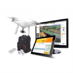
Construction Mapping Package

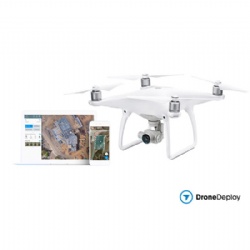
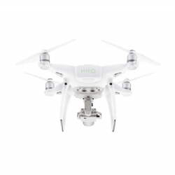
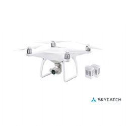
- All-new DJI Phantom camera with 1-inch 20MP Exmor R CMOS sensor, longer flight time and smarter features.
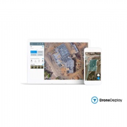
- Autonomously fly and capture images using DJI drones
- Survey job sites accurately in a fraction of the time it takes with a ground crew
- Accurately measure volumes, area, and distance on any device
- Keep projects on track with sharable maps
- Generate and export high resolution 3D models and point clouds
- Export the data you need to BIM, GIS and CAD software
- Easily add team members and integration with industry standard software on our enterprise ready platform


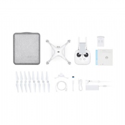
Extra Accessories Included in The Combo
- Construction Mapping Software (Pro Plan or Business Plan) ×1
- Previous Product:Construction Mapping Software
- Next Product:Phantom 4 Pro Reality Capture Package